- NGI /
- Projects /
- ICG - International Center for Geohazards /
- SP 12 - GIT applications in geohazards
SP 12 - GIT applications in geohazards
Geographical Information Technology (GIT) comprises tools for capturing, storing, analyzing and presenting spatial data sets.

The theme integrates and co-ordinates GIT-related activities within the ICG, with a special focus on the integration and application of digital elevation models (DEM) and remote sensing activities (RS). The theme integrates and coordinates GIT-related activities within the ICG, with a special focus on the integration and application of digital elevation models (DEM) and remote sensing activities (RS).

Overview and introduction
Geographical Information Technology (GIT) comprises tools for capturing, storing, analyzing, and presenting spatial data sets. A Geographical information system developed for defined purposes can handle large data sets, which makes it possible to analyze and visualize even complex spatial relationships. GIS applications have therefore been identified to be an important tool for geohazard studies.
GIS applications can contribute on various levels within such studies. Common for all levels is the need for knowledge of:
previous locations of failures and earthquake epicenters (e.g. existing landforms developed after a failure)
factors affecting failure conditions (e.g. geological structures, faults, moisture distribution, thermal conditions, topography)
areas potentially at risk for being threatened by geohazards including their "value" (economic, human live threat, etc.)
GIS applications can either be used to effectively visualize the information or to contribute actively to the identification of geo-hazard risk zones and vulnerability analyses. In order to develop a spatial risk model, we first need to know the spatial distribution of the process and factors/mechanics leading to slope failure.

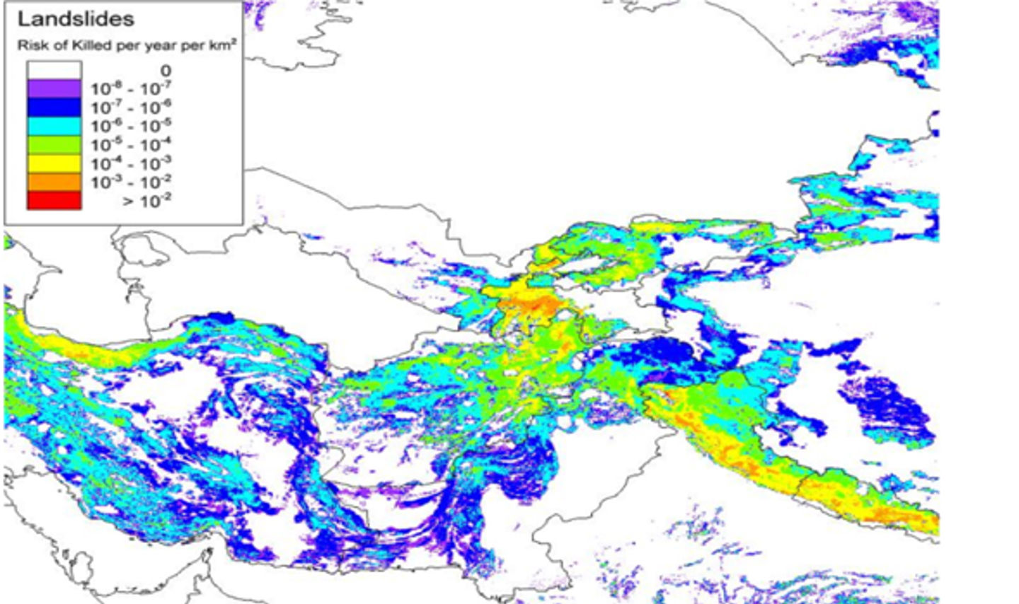
Figure 2. Landslide risk zonation for Central Asia (Nadim et al., 2006)
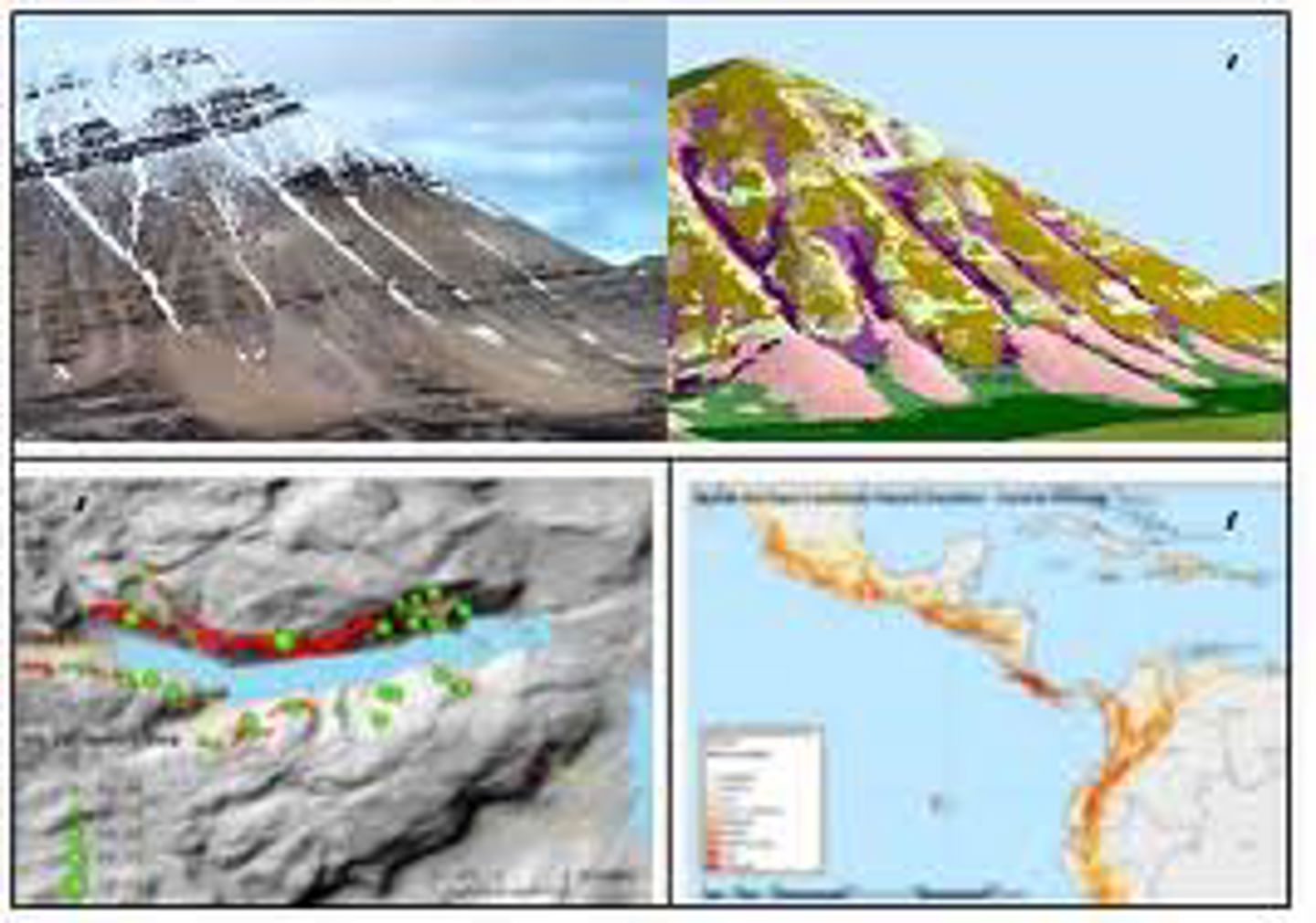
Within the ICG theme "GIS application and geohazard" we will focus on the field of digital terrain analyses and -classification to achieve a better understanding of spatial distribution patterns of geo-hazards/landslides and forms the bases for regionalization procedures of landslide processes. A sub-task here is the physical-based modeling of potential landslide traveling routes based on digital elevation models.
As a second focus, we will contribute to the GIS-based prediction modeling of geo-hazards, usable for risk assessment and vulnerability analyses. Some major aims are formulated as:
- develop methodologies for slope hazard regionalization based on digital terrain analyses
- develop scientifically sound and justified weighting factors for GIS-based hazard prediction modeling
- develop GIS-based prediction models for slope hazard and vulnerability analyses
Themes
- terrain analysis and geohazard assessment
- remote Sensing in geohazard assessment
- multi-criteria analyses in geohazard assessment
- visualization in geohazard assessment
- automatic landform classification based on digital elevation models
- estimation of source areas, run-out paths, and -lengths based on digital elevation models (in co-operation with ICG project "Slide dynamics")
You can read more about the themes here.
Recent results
- Rock slide risk in water magazines (in co-operation with ICG project XX and NVE)
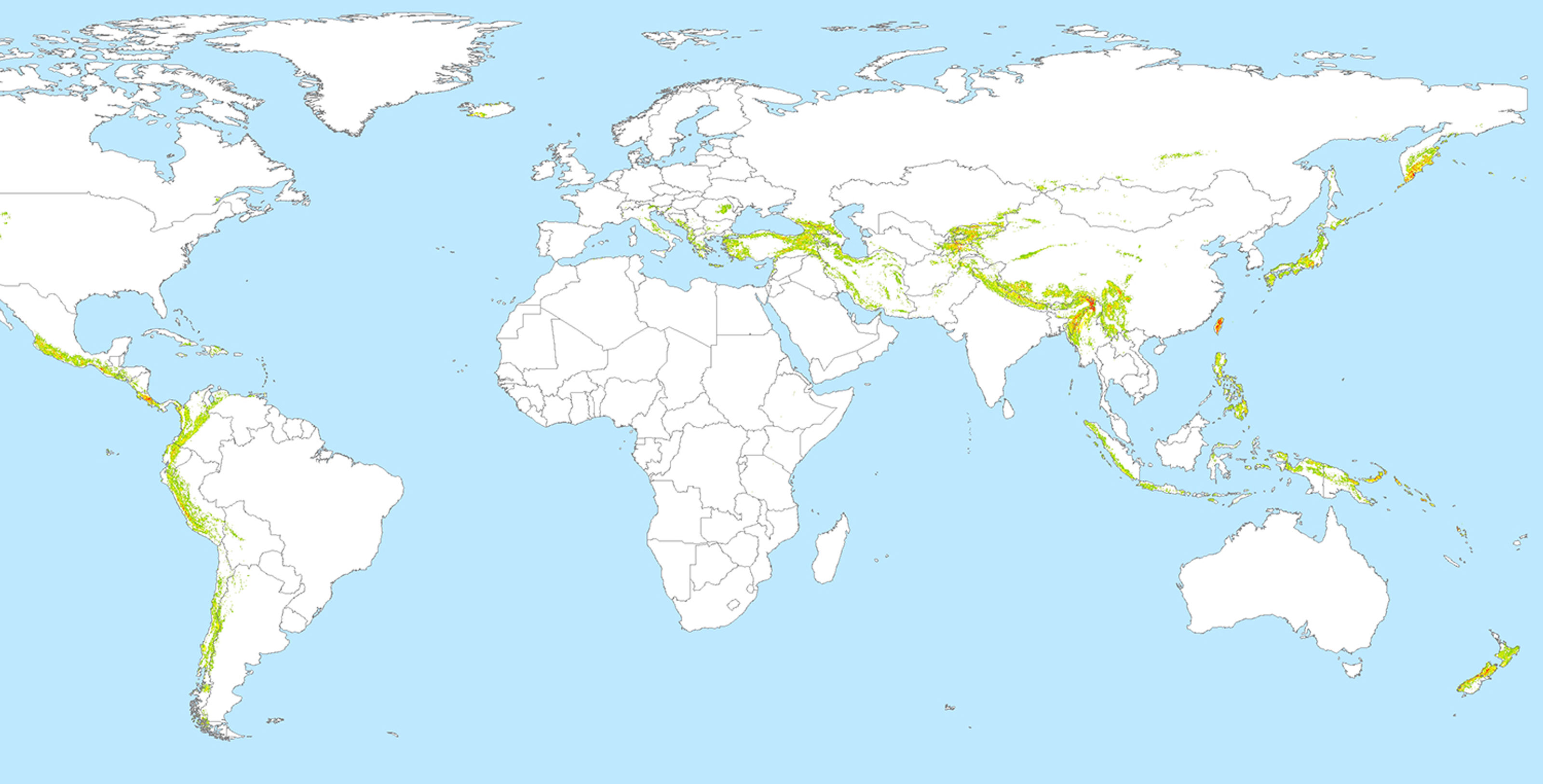
- Global and regional landslide "hotspots" (in co-operation with ICG project XX)
- Landform classification and contextual merging
- High resolution DEMs for rockslide hazard assessment
- Landslide database for Nicaragua (in cooperation with ICG project 9 and INETER)
- Statistical analysis of Nicaraguan landslides (in cooperation with ICG project 9).
You can read more about recent results here.
Personnel
UiO
- Bernd Etzelmüller (Theme leader)
- Andreas Kääb
NTNU
- Terje Midtbø
NGI
- Ulrik Domaas(Theme leader Slide modelling)
- Farrokh Nadim
NGU
- Marc-Henri Derron
- John Dehls
PhD students
involved in all or parts of the theme
- Bård Romsdal (UiO)
- Trond Nordvik (NTNU)
- Graziella Devoli (UiO)
Master students
involved in all or parts of the theme
- Morten Ramberg (UiO, FFI) - PS INSAR
- Morten Berg (UiO) - Slide path modelling
International co-operations
- Departments of Geogaphy, University of Bonn, Germany
- Department of Geography, University of Zurich, Switzerland
- AFFILIATION, University of Mexico, USA
- International working group on "Glacier and permafrost hazards in mountains" by the International Commission on Cryospheric Sciences (ICSI) and the International Permafrost Association (IPA)
- Global Land Ice Measurements from Space (GLIMS) project CNR-IRPI, Torino
- ITC, Enchede, Netherlands
- Instituto Nicaraguense de Estudios Territoriales (INETER), Managua, Nicaragua
Education
The ICG theme is actively involved in the master program "Geosciences", and the specialization "Environmental geology and geohazards" at the Department of Geosciences, University of Oslo. We offer a 10 ETS course GEO4510 with the title "Terrain analyses and remote sensing on geohazard assessment".