- NGI /
- Projects /
- Case studies /
- Rhine North sea Estuary
Rhine North sea Estuary
The Rhine Estuary-Drechtsteden region is strongly urbanised with significant economic value on a national and regional scale - notably thanks to the ports and industrial complex. With some 430 million tons annual through-put (2010) it is the biggest in Europe.

Greenport Westland, the high-tech knowledge economy, business services and the international trade centre all make substantial contributions to the global competitive position. Space is at a premium in Rhine Estuary-Drechtsteden. Its some 1.6 million residents make it among the country's most densely populated areas.
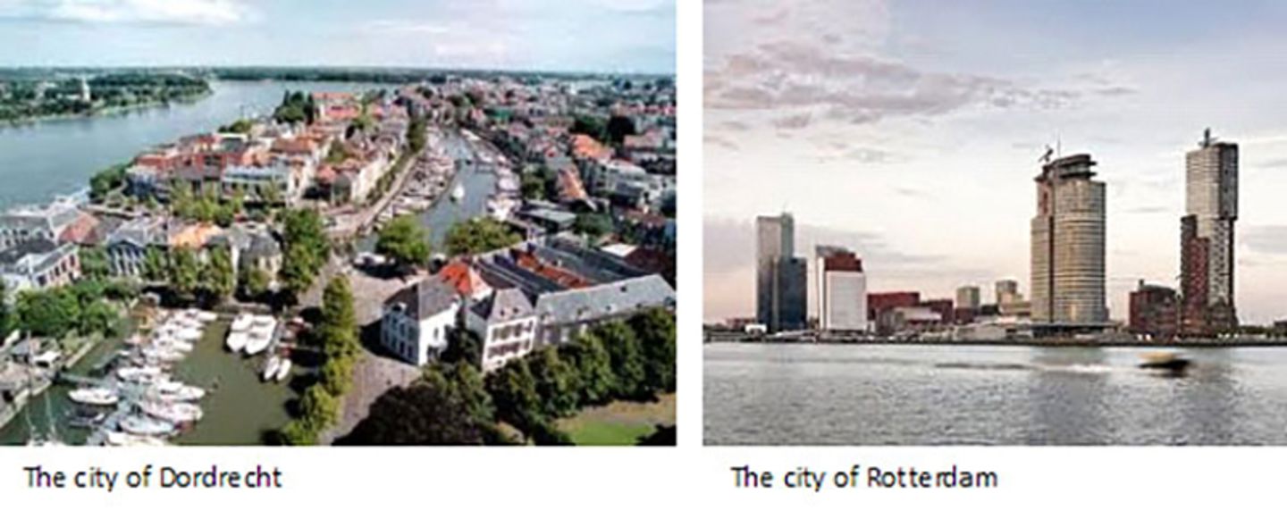
The cities of Dordrecht and Rotterdam form the heart of the region. Around 64,000 people live outside the dykes in Rhine Estuary-Drechtsteden. The region's urban network is ringed by coast and delta landscapes and the Green Heart, as it's called. Agriculture and horticulture are the most important functions in the rural area.

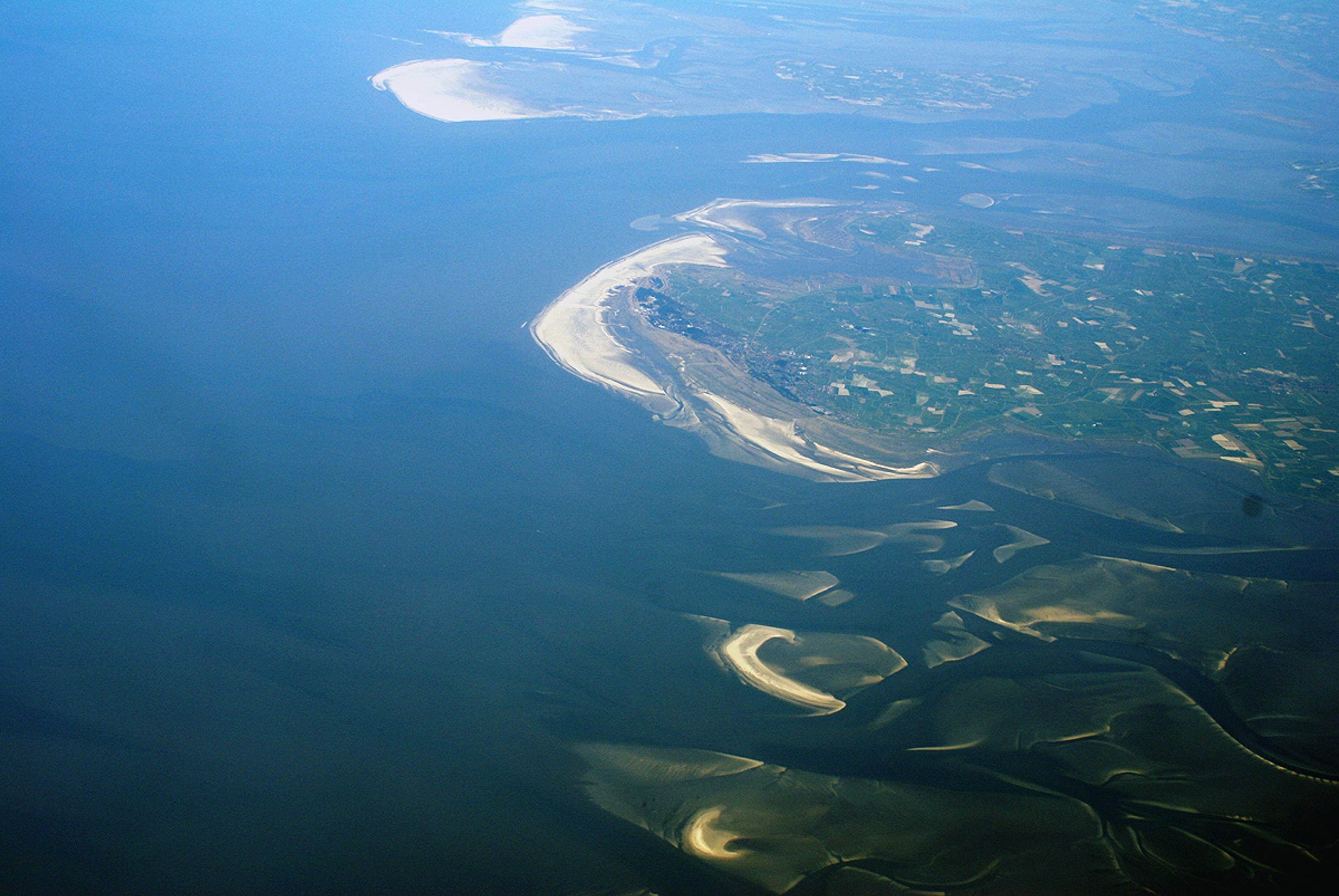
The Rhine Estuary, the Drechtsteden and the connected areas of Haringvliet, Hollands Diep and the waters linked to them (the Northern Delta Basins) form the transitional zone between the North Sea and the Rhine and Meuse rivers. A feature of this region is that the water levels, currents and sediment transport (the movement of sediment such as sand and gravel) is influenced by both the sea and the rivers. Sea and river processes meet up here, strengthening or weakening one another.
Consequences of climate change
The predicted climate change has various consequences for the region. The rising sea level means that dangerous situations can arise sooner and more frequently in case of storm surges. Barriers will therefore need to be closed more often. This increased closure frequency means that the chance of a closure coinciding with a high river discharge also increases. Climate change entails a greater chance that the required frequency of river discharges will increase, as will the quantities of water to be discharged. The combination of a higher sea level and high river discharges will mean that in the future, water levels will be higher than they are now. Consequently, the areas outside the dikes will be flooded more often and to greater depths.
In two of the four scenarios (Royal Netherlands Meteorological Society, 2006) climate change will also lead to more frequent low discharges from rivers in the summer. This will mean that salt intrusion from the sea will penetrate further inland along the riverbeds which will increase soil salination. As a result, it will be more difficult to use water for, among other things, agriculture and horticulture, ecology and maintaining the water level.
Current tasking
Flood Risk Management
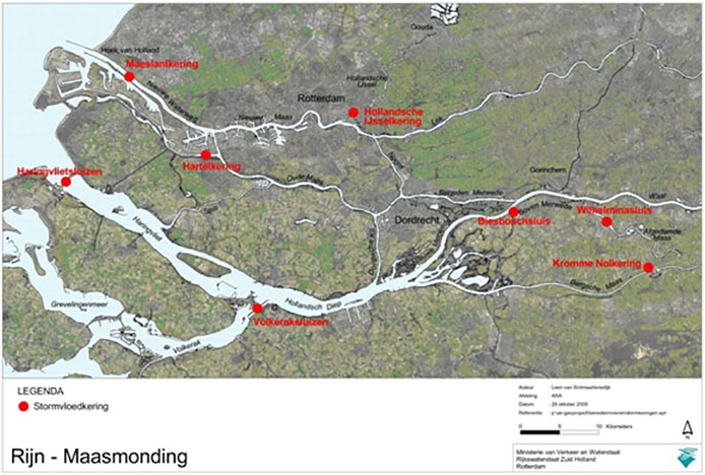
Under the current system flood risk management in the Rhine Estuary-Drechtsteden region is ensured by a combination of storm surge barriers backed by dykes and river widening. Without the Maeslant and Hartel barriers the dykes would need to be higher, by 0.5 metres in Dordrecht and as much as 1.2 metres in Rotterdam. Within the region intensive use is made of the area outside the dykes for homes and work. These areas are positioned at relatively high elevations in addition to being protected by the storm surge barriers.

Freshwater
Freshwater plays an important role in the west of the country. It is used in the preparation of drinking water, agriculture and horticulture, for industrial process water and for management of natural areas. Freshwater is also deployed for water level maintenance and flushing surface water. Availability of freshwater is essential for industry, agriculture and horticulture - including the Westland, Oostland and Boskoop greenports.
Freshwater supplies in the west of the country depend strongly on the intake from the main water system in the Rhine Estuary-Drechtsteden region. In the current system the intake points near Gouda (Hollandsche IJssel) and Bernisse (Spui) are crucial. Situations may arise, as in 2003 and 2011, when salt levels at the inlet points are so high that the water cannot be taken in for freshwater supplies. This external salinization is caused by seawater penetrating further into the river. This causes problems for functions dependent on freshwater such as the port/industrial complex - in addition to the greenports of Boskoop, Westland and Oostland, and drinking water supplies. To take an example, in the current situation, there is a chance, that in one year in ten, it will not be possible to take up water from Hollandsche IJssel for 44 days, creating problems for the Boskoop greenport.
Ground water is salty in much of the west of the country, including the Rhine Estuary-Drechtsteden Region, and seeps upward causing internal salinization; salt content in drainage channels is then too high for use in agriculture, horticulture and industry. Apart from potential for climate change, saltwater seepage is increased by subsidence.
Future tasking
Safety
The findings of the third Safety Assessment of primary flood defence systems are expected to lead to reinforcement of the current system in the Rhine Estuary-Drechtsteden Region whereby dykes are strengthened for a 50-year lifespan.
The past several decades have seen a significant increase in the population and economic value of the region. With this in mind the sub-programme Safety is checking the continued adequacy - i.e. standards - of protection levels. This could lead to a second Safety task for the Rhine Estuary- Drechtsteden Region.
Climate change and subsidence give rise to a third Safety task for the region. Based on the Steam scenario by 2050 just over 30% of dykes will be below standard, rising to 50% in 2100. Subsidence is successively lower in a number of polders in the Rhine Estuary-Drechtsteden Region increasing the likelihood of flooding.

In spatial terms major sections of these three tasks are expected to come together within Rhine Estuary-Drechtsteden, hence it is important to view and approach them in combination. The question then arises as to whether and for what period of time the current safety approach is adequate or whether strategy change is needed.
National and regional authorities both seek to realize tasks around urbanization within the towns and cities. In this region development within towns and cities means building outside the dykes. Spatial intensification outside the dykes (urban reconstruction, intensification of port activities) boosts the impact of extreme high water levels. Rises in sea level and changes in river discharge also increase chances of high-water situations in areas outside the dykes. First to flood are low-lying natural and agricultural areas, followed by existing urban and port areas. Any possible high-water situation would mainly cause material damage but there is only a limited risk of casualties outside the dykes. There would be scarcely any problems for recently developed sites, including port areas like Europort and the Maasvlakte which have been built on a higher elevation and/or are configured to adapt.
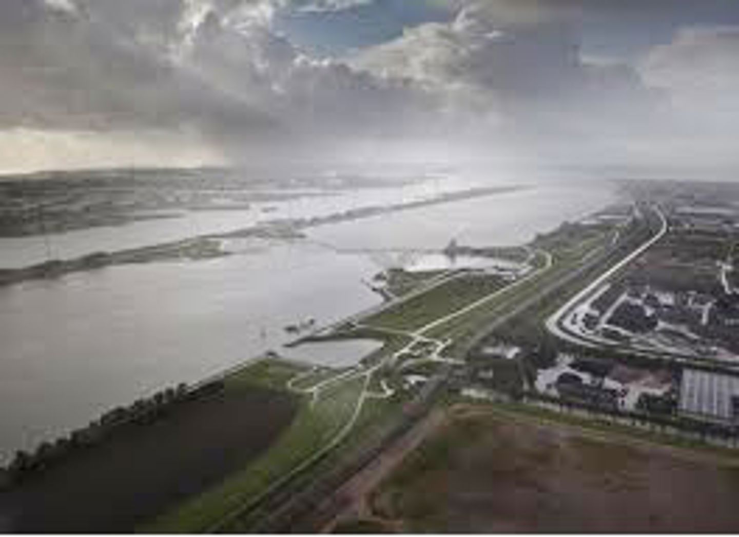
The Maeslant barrier in the Nieuwe Waterweg forms an important link in protecting the west of the country from the sea, and this situation will continue for the next several decades. Without any major adjustments the Maeslant barrier can cope with a 50 centimetre rise in sea level - indeed it was designed to this end. Based on the Steam scenario this increase will not come about until 2070 at the earliest. Currently, the Maeslant barrier meets the relevant standard. Given the rise in sea level the Maeslant barrier will close more often. Working on the basis of present logistic flows continuing this will negatively impact on the accessibility of both port and hinterland.
Freshwater
Declining river discharge in summer plus a rising sea level will put the intake points at Gouda and Bernisse out of operation for longer periods in future. Currently there is a one-in-ten years chance of a 44-day long stop on water being available from the Hollandsche IJssel. The Steam scenario puts the chances higher at one-year-in-ten and zero take-up availability for 143 days in 2050. Hence the intake point near Gouda could be virtually non-operational in around 2050 as it would have to be closed during the growing season (under the Steam scenario). Based on the Rest scenario this situation is expected in around 2100.
There is a similar trend at the intake near Bernisse, however, both scenarios suggest a slightly longer run thanks to buffer capacity in the Brielsemeer and tidal factors. If there is not a timely alternative for the Gouda intake point there will be serious pressure on freshwater supplies in the west of the country.
Potential climate change could increase evaporation leading to increased demand for freshwater while higher sea levels boost salt seepage, all of which could lead to a doubling of demand for freshwater up to 2050. Population and economic growth will mean an additional growth in demand for water - although this would be limited compared with higher demand due to internal salinization. It is expected that lower summer discharge from rivers in future could mean constraints on shipping due to shallower channels potentially limiting the amount of cargo carried.
Tasking and urgency
The major task in the Rhine Estuary-Drechtsteden Region lies in melding spatial ambitions and the flood risk management tasking, in the short and medium terms with long-term strategy for safety and freshwater supplies. This long-term strategy is needed given the spatial ambition for the Rhine Estuary-Drechtsteden area. A feasibility study is underway within the framework of the Delta Programme into realization of the spatial ambitions while avoiding clashes with possible spatial reserves for the safety tasking or new policy principles. It is fair to call investments made at this point which do not mesh with future policy, mistaken. This can apply both to investments in flood risk management and in realizing spatial ambitions strongly influenced by the water system.
In the long term one has to ask whether current strategy around storm surge barriers and dykes will be sufficient or whether a shift in strategy is required. A different strategic choice could have a major impact on the level of sustainable realization of current spatial ambitions; at the same time it would also offer potential. Uncertainty around long-term strategy could have a negative effect on the investment climate.
A major advantage in studying strategies for safety and freshwater at this early stage is that building in the town or city, port or landscape - which is already underway in the short-term - would be easy to mesh with activities around safety and freshwater supplies, and vice-versa. For example, if renovation is underway in an area outside the dykes, this would be the time to review necessary safety measures (adaptive construction). The results of the sub-programme New Urban Developments and Reconstruction would be used here. The same applies to granting concession for the port, dyke reinforcement and adaptation of ribbon construction along the dyke.
A timely alternative for the Gouda intake point is also needed; failure to achieve this will put serious pressure on freshwater supplies in the west of the country. In the Netherlands the process from decision making to realization often runs into decades and the same applies to other measures. Hence, it is important to start right away on determining the alternatives.
The National Delta Programme
The Rhine Estuary-Drechtsteden is a sub-programme within the National Delta Programme. The Delta programme is a nationwide programme. The national government, provinces, municipalities and regional water boards work together with input from social organizations and the business community. The objective is to protect the Netherlands from flooding and to ensure adequate supplies of freshwater for generations ahead.
ARCH's focus at the Rhine Estuary-Drechtsteden case study site will build on the processes that have been started within the National Delta Programme, but will also put this in an international perspective.
===========================================
Based on information from:
- http://english.verkeerenwaterstaat.nl/english/topics/water/delta_programme/sub-programmes/rhine_estuary-drechtsteden/
- http://www.deltacommissaris.nl/english/Images/Delta%20Programme%202012_Appendices_EN%20(2)_tcm310-307585.pdf
===========================================
Contacts:
- Adriaan Slob, Sub-project Manager, adriaan.slob@tno.nl
- Geiske Bouma, geiske.bouma@tno.nl