Benchmarking methods and tools for InSAR in urban and rural terrain
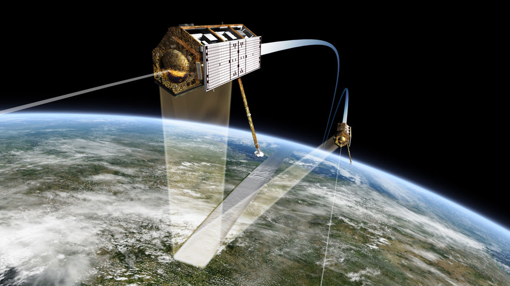
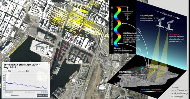
The main objective of this master thesis is to understand the differences between available InSAR processing techniques and their advantages and disadvantages for applying them to different types of displacement phenomena.

There are many available open-source InSAR processing tools with different implementation approaches. By benchmark-testing, a selection of the most widely used InSAR tools, this project will provide valuable information about which InSAR methods and tools are best suited for different types of target areas.
The study results will be compared with those obtained using commercial InSAR workflows from vendors such as SARmap and Gamma Remote Sensing. We expected the student to prepare software packages (installation/compilation) for this study.
The study results will be compared with those obtained using commercial InSAR workflows from vendors such as SARmap and Gamma Remote Sensing. We expected the student to prepare software packages (installation/compilation) for this study. Some of these tools must be combined with applying complete time-series processing workflows.
The student's backgrounds and interests should be within remote sensing, programming, computer science, physics, and signal processing.

