- NGI /
- Projects /
- Case studies /
- Lesina Mediteranean sea Coastal lagoon
Lesina Mediteranean sea Coastal lagoon
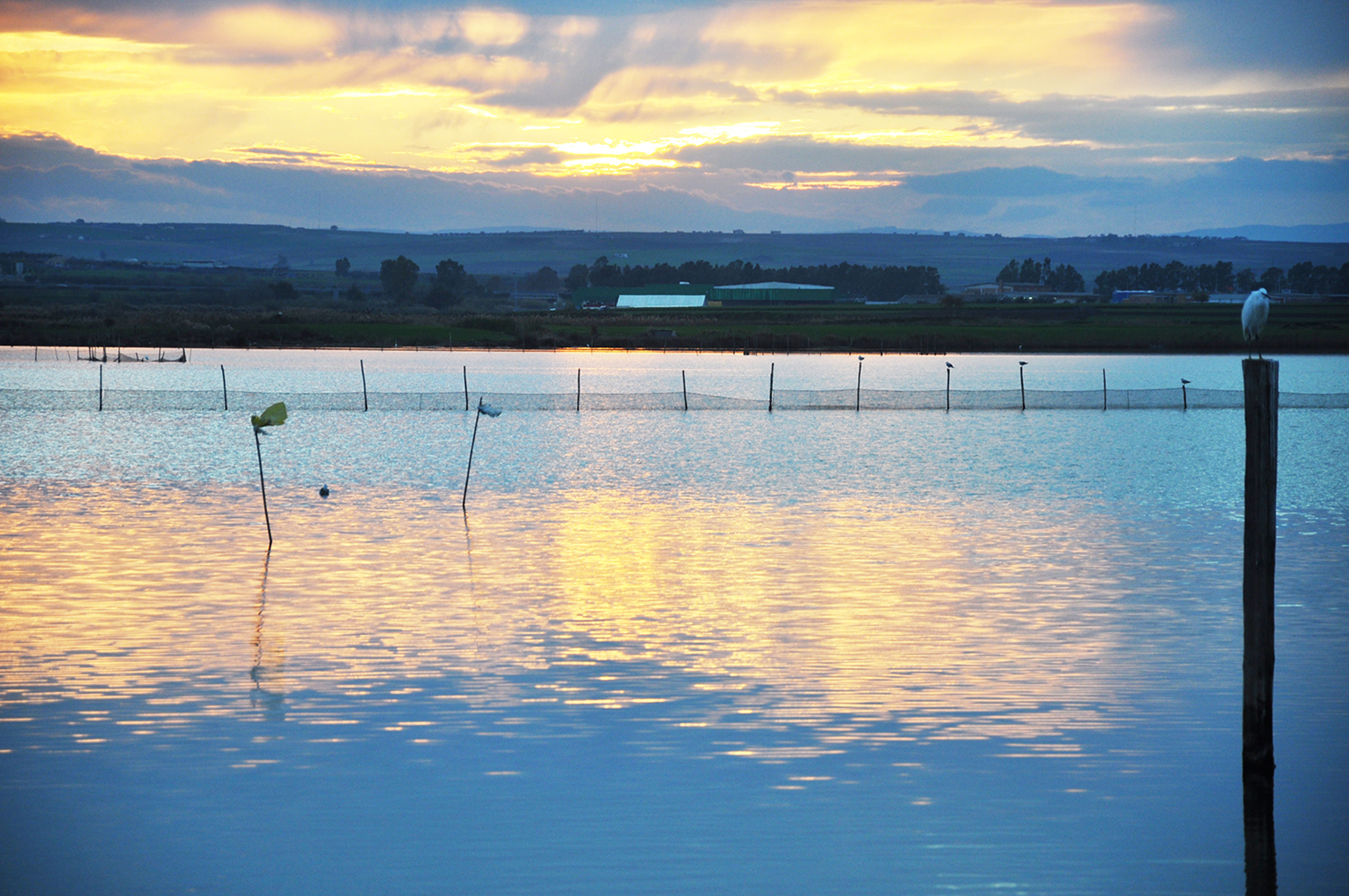
The Lesina Lagoon, alternatively known as the Lake of Lesina due to its small and previously fleeting hydrological connection to the Adriatic Sea, is located on the Gargano Promontory in Apulia, Italy.

The Lesina lagoon, which has an elongated shape and an east-west orientation, comprises an area of 51 km2 down from 66 km2 due to land reclamation. It is more than 20 km long but rarely more than two km wide. It is very shallow with an average depth of 0.8 m and a maximum depth of 1.5 m. The temperature of the lagoon water varies considerably with a range from 2-3 C in winter to more than 30 C in summer.

The lagoon is separated from the Adriatic Sea by a sandy barrier ranging in width from 2 km on the western end to a few hundred meters on the eastern end. The barrier is interrupted by two inlets - Canale Acquarotta at west, and Canale Schiapparo at East - which are actually artificial cuts respectively opened in 1853 and 1903 to manage the flow for fisheries. Apart from the small town of Lesina on the southern coast of the lagoon, the mainland is marked by farmlands mainly dedicated to horticulture (tomatoes and other vegetables, olives trees) and livestock.
A considerable amount of contaminants (including nutrients and pesticides) from these areas is discharged to permanent streams flowing into the lagoon. In addition, untreated and partially-treated effluents from the network of minor drainage streams flow into the lagoon through several pumping plants.

The entire Gargano massif, which supplies freshwater to the Lesina Lagoon, is occupied by an extensive aquifer whose base level is sustained by seawater intruding for several kilometers into the continent. Seasonal variations in the regime of this aquifer and its diffusion processes, cause the interface between freshwater and seawater to be dynamic and undefined. Groundwater flow tends to concentrate along preferential pathways in the transition layer, emerging in well localized groups of brackish springs.
These can be found directly on the coastline as submarine springs (polle), or in the quaternary deposits of gentle slopes interposed between the massif and the coast on the northern side of the promontory, where the lagoon of Lesina is located. Springs are important for local agriculture and were an important source for both consumption and bathing purposes. These springs also discharge directly into the lagoon presenting a possibly important source of freshwater and contaminants into the lagoon.

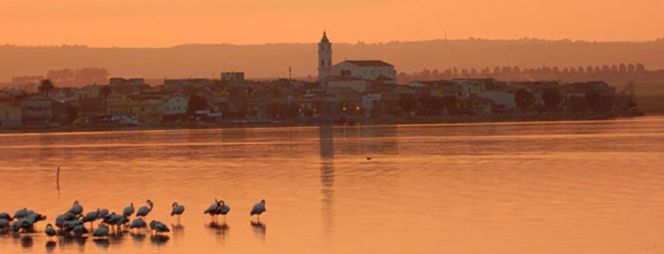
Lesina is a small village of about 6300 permanent residents; this number can swell considerably in the summer with the influx of, mostly local, tourists to some beach resorts in the area of Marina di Lesina located in the western end of the sand barrier, near the inlet of Acquarotta. An additional human presence near the coastline is in the hundreds of unauthorized summer residences on the eastern side of the barrier island between the Schiapparo inlet and the center of Torre Mileto.
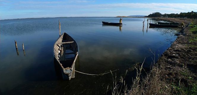
Fishing and agriculture make up the largest part of the local economy. Fishing is manly based on traditional manual practices and yield several valuable species like eels, sea bass, gilthead seabream, grey mullet and silverside. The areas near the western and southern lagoon shores are dedicated to extensive crops like wheat, sugar beet, tomatoes and sunflower, while areas east of the lagoon are occupied by high value horticulture and a relatively large extent of olive trees plantations. Some fish farms and livestock farms with buffalo and a unique breed of cow (Podolica), are also present near the lagoon border. Major local products include olive oil, buffalo mozzarella, and tomatoes.
The relative importance of the fishing industry in the Lagoon of Lesina has progressively declined in the last decades. The weakness of management policies, which are the results of long-lasting controversies between different stakeholders, started before the end of the feudal system and were never completely solved. This is the main reason of the present decrease in productivity.
Recently the lagoon was characterized by major changes in morphology and hydraulics of the system: the first in order of importance was the opening of the two new inlets and channelization of the springs in the eastern sector. Meanwhile, the brackish water habitat which was once available for fishes and a variety of water birds was reduced considerably by the reclamation of marginal areas and the construction of a dike around the lagoon.
The dike was built to reduce the area flooded when higher water levels are required for fishing practices. In the 1970¿s a long and wide trench was dug in the inlets in order to improve circulation and seawater penetration into the lagoon. This channel was also built in order to offer a refuge for fish in extreme climate conditions partially filled up before it was successively re-colonized by seagrasses.

The most recent projects in the Acquarotta Inlet led to further environmental degradation. In the `30s, the original seaward opening was relocated on a bedrock promontory at its western end to prevent closure by longshore sand transport. However further work in the 1980's (an attempt to return the inlet to its natural form) led to extensive dissolution of the bedrock and the formation of sinkholes and collapses. These phenomena are now endangering several buildings in the center of Lesina Marina and authorities are seeking solutions which eventually will require relocation of some buildings.
Within the last two decades pollution has become a primary ecological issue. A considerable amount of contaminants (including nutrients and pesticides) from the catchment areas is discharged to streams flowing into the lagoon. In addition, the lagoon also receives untreated wastewaters from the network of minor drainage streams and partially-treated effluents from a few water treatment plants and intensive fish farms. As a result, localized macroalgal growth and anoxia occasionally occur. It is also likely that groundwater discharging into the lagoon is a major source of nutrients into the lagoon.
With the signing of the Ramsar Convention in 1971, the Italian Government dropped the policy of draining wetlands to fight the diffusion of malaria and to expand agricultural areas. The Lagoon of Lesina largely benefitted from new policies and saw a reversal in its water quality. In 1981 the eastern lagoon became a bird sanctuary and in 1991 the entire system was incorporated in the National Park of the Gargano. The lagoon of Lesina and its surrounding areas have also been the focus of some important EU projects (e.g. COBO, within the FP6), LIFE projects and transnational IPA projects.
Nowadays the lagoon can be considered to be a well-protected area and awareness of its ecological importance, especially as a refuge area for migrating birds, is spreading, as witnessed by the increasing number of visitors in the structures of the park. However, as for many natural ecosystems, which were managed for centuries by the continuous intervention of man and where the interaction with anthropogenic presence has not been interrupted, a policy for protection must also consider the implementation of some forms of active management of the environment. For this purpose a description of a state of the Lagoon, is an essential prerequisite of a discussion on new policies with communities and stakeholders.
Contacts:
- Athanasios Vafeidis, Sub-project manager, vafeidis@geographie.uni-kiel.de
- Elisabetta Ballarin, ballarin@gpi.uni-kiel.de